Management of 14 attributed forest perimeters

Download map
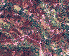
Satellite images:
- mapping and remote sensing Service
- satellite images analysis
- Innovative approach to a better understanding and location
of available forest resource
- Optimization of logging with minimizing range

Reforestation in the context of logging reform:
- contributes to the national effort to restore the Ivorian forest coverage
- participates in the maintenance of forestry production’s potential


